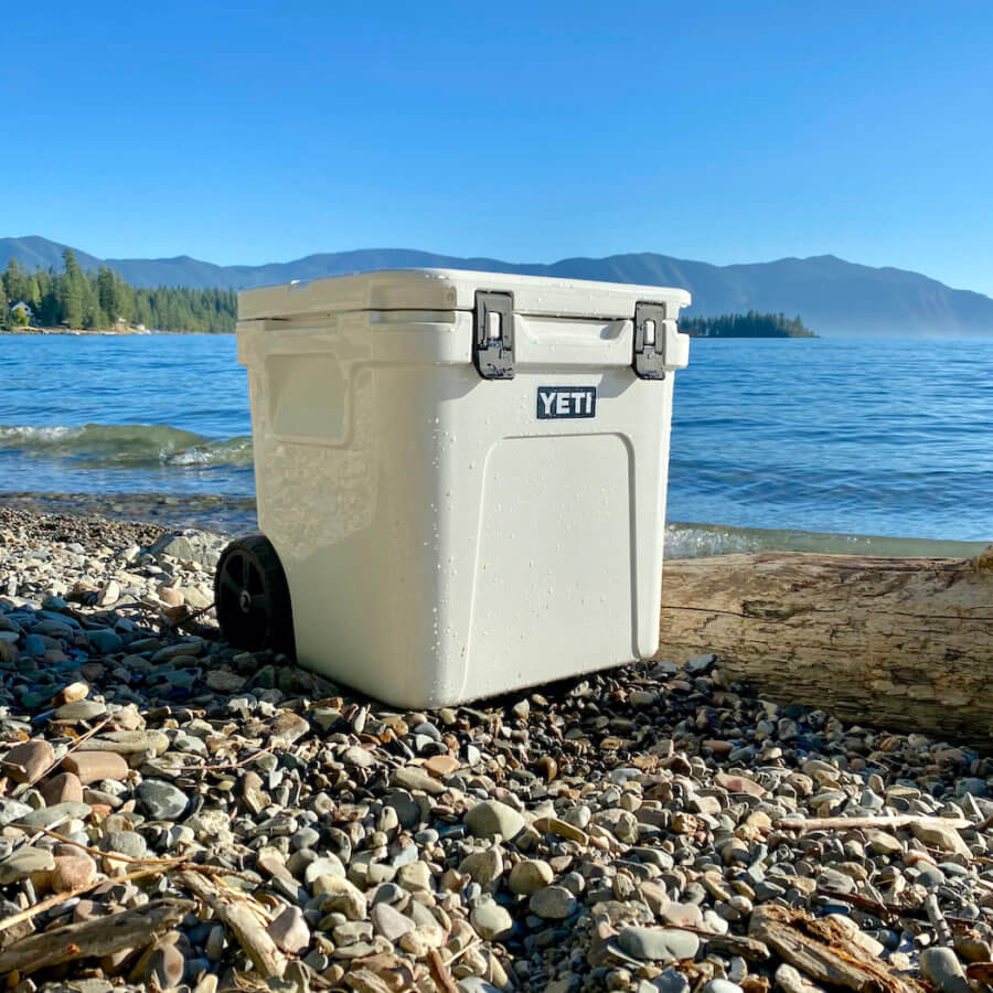
The new YETI Roadie 48 and 60 hard coolers come with an all-new wheeled design with a rugged collapsible pull handle. They are designed similar to the popular and much smaller Roadie 24, but there is more...
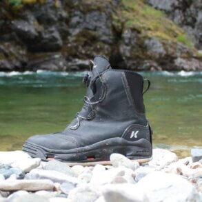
The Korkers Devil’s Canyon wading boots are lightweight and flexible boots that...
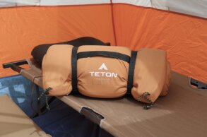
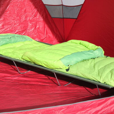
The Teton Sports Camp Cot Sleeping Pad series comes in three different...
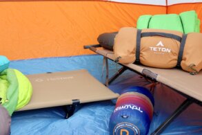
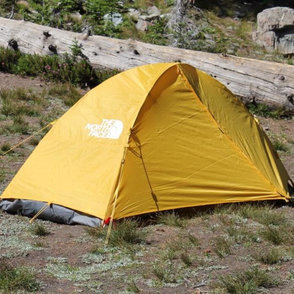
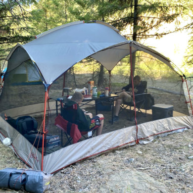
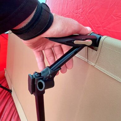
One of the best ways you can upgrade your tent camping experience...
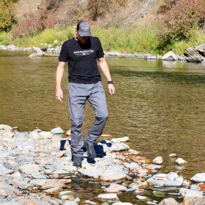
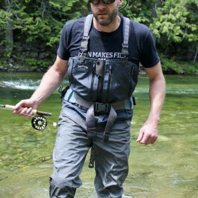
The Vertx Cutback Technical Pant is a lightweight, fast-drying pant that’s packed...